




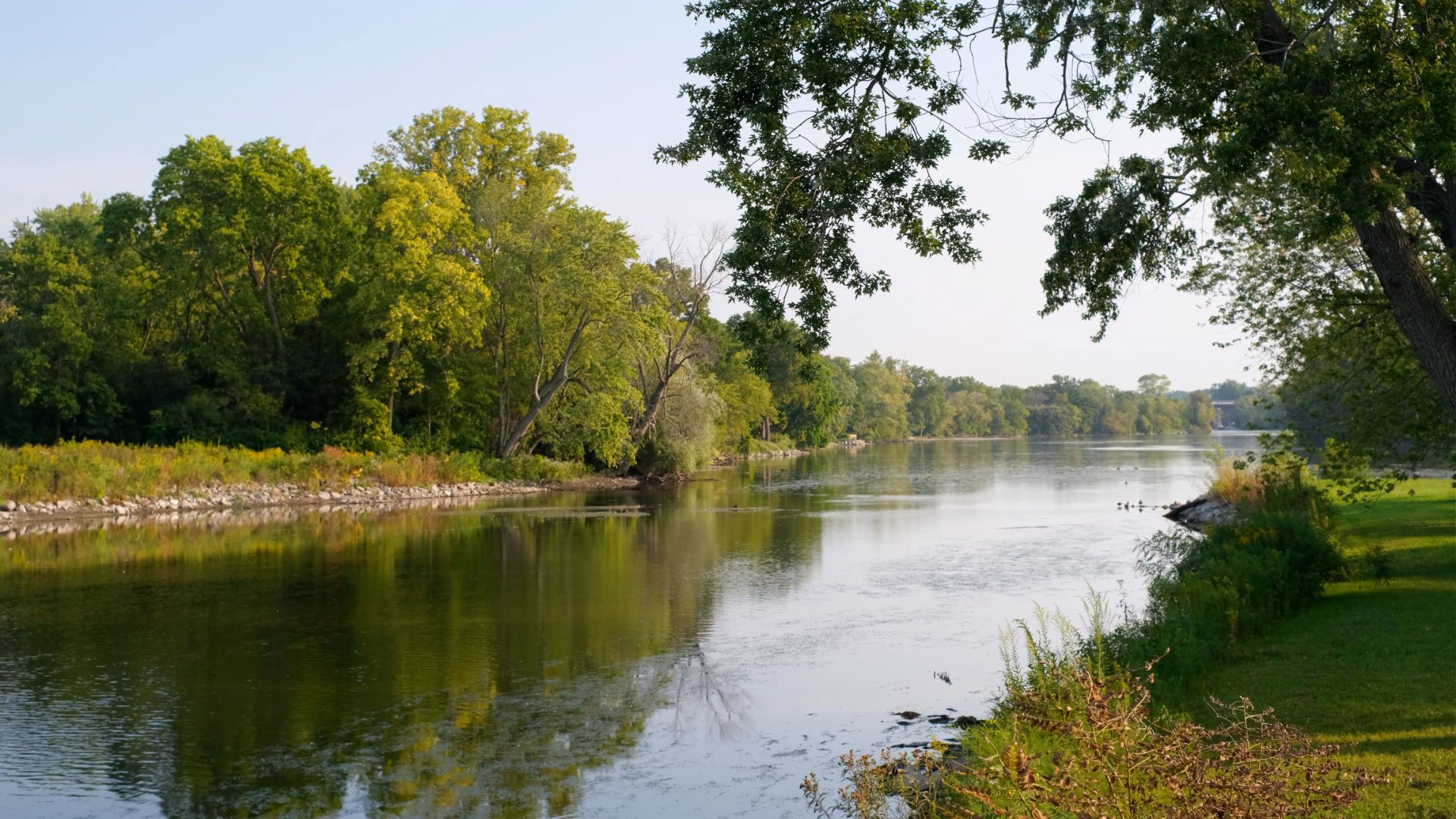
Fox River in Geneva, IL
The Wild and Scenic Rivers Act (WSRA)
Enacted by Congress in 1968, the Wild and Scenic Rivers Act preserves select rivers with outstanding natural, cultural, and recreational value in their free-flowing condition. It is the nation’s strongest level of river protection, shielding waterways from dam construction, harmful channel alterations, and mineral extraction. The National Wild and Scenic Rivers System encompasses over 13,400 miles across 41 states. Administered collaboratively by the U.S. Forest Service, Bureau of Land Management, National Park Service, and U.S. Fish and Wildlife Service, rivers in the system are selected based on strict eligibility and designation criteria. Illinois’ Vermillion River downstate near Danville is part of the system. Let’s take a deeper look at conservation efforts being done for rivers in Illinois and, particularly, by The Conservation Foundation.
When a river is added to the National System, it is given a classification — wild, scenic, or recreational. These names have little to do with recreation, scenery, or wilderness, but, instead, are measures of the level of development along the river at the time of designation. Different sections of a river might have different classifications.
Wild River Areas: Those rivers or sections of rivers that are free of impoundments and generally inaccessible except by trail, with watersheds or shorelines essentially primitive and waters unpolluted. These represent vestiges of primitive America.
Scenic River Areas: Those rivers or sections of rivers that are free of impoundments, with shorelines or watersheds still largely primitive and shorelines largely undeveloped, but accessible in places by roads.
Recreational River Areas: Those rivers or sections of rivers that are readily accessible by road or railroad, that may have some development along their shorelines, and that may have undergone some impoundment or diversion in the past.
Designated river corridors (typically stretching a quarter to a half-mile on either side of the water) receive several specific protections:
- Flow Protection: Prohibits the licensing of new hydroelectric projects and dams
- Resource Preservation: Protects public lands along the banks from oil, gas, and mineral development
- Water Quality: Ensures the maintenance of water quality standards
- Public Access: Guarantees opportunities for outdoor recreation, such as kayaking, fly fishing, and hiking, while strictly monitoring environmental impact
For detailed information on the specific legislation, you can view the full WSRA text, or explore Wild & Scenic Rivers management procedures through the U.S. Forest Service.
Illinois – WSRA and Beyond
Out of the more than 86,000 miles of rivers and streams flowing through Illinois, exactly one 17.1-mile stretch is designated under the WSRA.
The Middle Fork of the Vermilion River is Illinois’ only National Wild and Scenic River. Located in east-central Illinois near Danville, this river segment was designated in 1989 to protect its exceptional water quality, dramatic scenic bluffs, and diverse wildlife habitat. Its local administering agency is the Illinois Department of Natural Resources (IDNR).
This protected stretch begins near Higginsville and flows south, entirely within publicly owned conservation and recreation lands. It is classified as a Scenic River Area, meaning it remains free-flowing and largely primitive but is accessible by roads in a few specific locations. The river corridor is surrounded by a continuous greenway managed by three distinct public parks:
- Middle Fork State Wildlife Area: Covers the northern segment and offers rugged wildlife viewing and rustic multi-use trails
- Kennekuk County Park: Lines the eastern bank of the central portion, offering historical exhibits and family-friendly amenities
- Kickapoo State Recreation Area: Manages the southern section, serving as the main hub for rental equipment and river activities
For more details on the Middle Fork of the Vermillion River and other United States rivers, view the Interactive Map below.

U.S. Fish and Wildlife Service, Find a River
Illinois has state-level statutes that reinforce and support the federal Wild and Scenic Rivers Act. The Wild and Scenic River Area Act authorizes the Director of the IDNR to cooperate with federal agencies (Interior, Agriculture) under the federal Wild and Scenic Rivers Act, including developing a statewide outdoor recreation plan, pursuing Land and Water Conservation Fund financing, and identifying opportunities to establish state, interstate, or local wild and scenic river areas. The Illinois Rivers, Lakes, and Streams Act is a complementary 1911 state law (last amended 2005) that is enforced by IDNR and protects Illinois rivers, lakes, and streams from degradation via permitting requirements — working alongside federal laws like the Clean Water Act, the Illinois Rivers, Lakes, and Streams Act protects the state’s water resources, including rivers, lakes, streams, and wetlands, from degradation and destruction, safeguarding these resources from adverse impacts of construction, dredging, filling, and pollution.
In northeastern Illinois, the Lower Fox River was actually nominated to be added to the National Wild and Scenic Rivers System in the 1980s. Although not added to the National System, the river recently achieved massive conservation recognition. The Fabulous Fox! Water Trail is an officially designated national water trail. It spans 158 miles from southeast Wisconsin down through northeast Illinois, providing public access points at over 70 locations for kayakers, canoers, and outdoor enthusiasts.
Fox River
The Conservation Foundation and Rivers
The Conservation Foundation believes that healthy, clean water is intricately tied to healthy communities and our quality of life. Healthy rivers and streams are full of life — fish, aquatic bugs and plants, clean water, and good habitat for those fish and bugs to make their homes there. They have well vegetated riparian land along them that helps to filter pollutants out of rain water draining towards the river, shade smaller streams, and provide habitat for wildlife. They are inviting places to explore, kayak down, fish in, or maybe just a quiet place to just sit and listen to water flowing over rocks.
Over the years, The Conservation Foundation has worked in many ways to improve water quality in our local rivers and streams. We have built strong relationships with communities and proven ourselves as a leader in river and watershed protection through programs like:
- Providing technical staffing and support to local watershed management groups for efforts with the DuPage, Fox, and Des Plaines Rivers and Salt Creek watersheds
- Coordinating opportunities for people to participate in protecting clean water like river clean-ups, storm drain medallions, and Conservation@Home
- Leading the Fox River Initiative — connecting people to the Fox River through art and education
- Expanding the Salt Smart Collaborative to provide training and resources for reducing road salt use while maintaining public safety
- Working with developers to encourage stormwater best management practices and provide for long-term, funded management of those practices through our Natural Areas Assurance Program
- Working with local groups on dam removal from the Salt Creek, DuPage River, and the Fox River
In its mission and actions, The Conservation Foundation fully supports the WSRA.
So how can you contribute to conservation efforts that help with the conservation and wise use of rivers? Well, that is what The Conservation Foundation has been doing for more than 50 years. “We save land. We save rivers.” We can all do more together than we can alone. Join our collective momentum – become a member today!
Feel free to comment on this blog with your thoughts on rivers conservation and the Wild and Scenic Rivers Act.
By Steve Stawarz, Oak Brook
DuPage County Community Council Member